Kitsap Peninsula Trail Maps
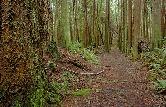
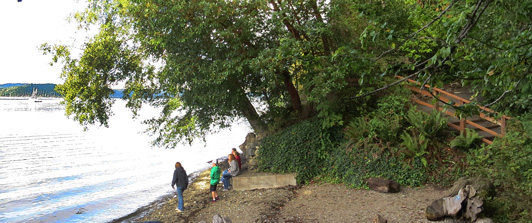
 The Kitsap Peninsula has city, county, community and state parks that offer visitors a wide range of walking trails for year-round use. Some are also available for dog walking, mountain biking and horseback riding. Below is a list of weblinks as well as pdfs of trail maps ro view on your phone or print ro carry along as you explore the trails and pathways of the Natural Side of Puget Sound™. Visit our Recreation page for the Kitsap Peninsula Outdoor Recreation Map.
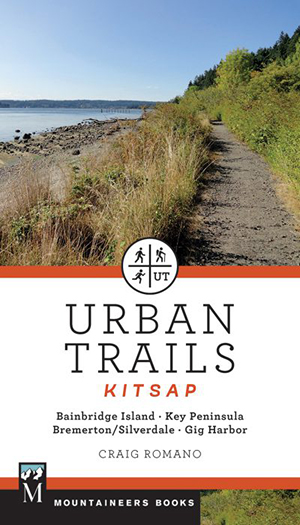
Another excellent resouce of local trails is Craig Romano Urban Trails: Kitsap available at Liberty Bay Books - Poulsbo, Ballast Book Company - Bremerton, Eagle Harbor Book Co., Bainbridge Island and Mountaineer Books.
Kitsap County Trail Information & Maps
Below is a list of Kitsap County Parks & Trails that provide downloadable trail maps and information.
• Anderson Landing Preserve - Anderson Hill Rd, Silverdale. More info. Click here for downloadable map.
• Bandix Dog Park - Bandix Rd SE, Olalla - More info. Click here for a downloadable map. Discover more off-leash dog parks.
• Banner Forest Heritage Park - Banner Rd SE & SE Overra Rd, Port Orchard. More info. Click here for a downloadable map.
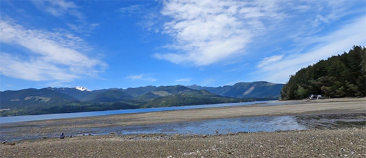
• Guillemot Cove Nature Reserve - 19235 Stavis Bay Rd NW, Seabeck. More info. Click here for a downloadable map. Check out Jesse Allen's video Urban Trails Kitsap Guillemot Cover Nature Preserve-Day Hike.
• Hansville Greenway Wildlife Corridor - NE Buck Lake Rd, Hansville. Click here for more info. Check out the downloadable map.
• Howe Farm Park - Long Lake Rd SE, Port Orchard. More info. Click here for a downloadable map.
• Illahee Preserve Heritage Park - 3200 NE Riddell Rd, Bremerton. More info. Click here for a downloadable map.
• Newberry Hill Heritage Park - NW Newberry Hill Rd, Silverdale. More info. Click here for downloadable map.
• North Kitsap Heritage Park - Miller Bay Rd, Kingston. More info. Click here for downloadable map.
• Port Gamble Forest Heritage Park - Port Gamble. More info. Click here for downloadable map.
• South Kitsap Regional Park Trail - Jackson Ave SE & SE Lund Ave, Port Orchard. More info. Click here for Forest Explorer map.
For more information go to: Kitsap County - Find Your Park
Washington State Park & Forest Trails & Maps
• Manchester State Park - 7767 E. Hillside Rd, Port Orchard - More info. Click here for a downloadable map.
• Scenic Beach State Park - 9565 Scenic Beach Rd NW, Seabeck - More info. Click here for a downloadable map.
• Illahee State Park - 3540 N.E. Sylvan Way, Bremerton - More info. Click here for a downloadable map.
• Kitsap Memorial State Park - 202 NE Park St, Poulsbo - More info. Click here for a downloadable map.
• Green Mountain State Forest - Gold Creek Rd W, Bremerton - More info. Click here for a downloadable map.
• Kopachuck-Penrose Point State Park - 321 158th Ave SW, Lakebay - More info. Click here for a downloadable map.
For more information go to: Washington State Parks
Another useful Kitsap Peninsula trail resource: Washington Trails Association
Town/Community Trails Info & Maps
• Poulsbo Fish Park - 288 NW Lindvig Way, Poulsbo - More info. Click here for a downloadable map.
• Clear Creek Trail - Various access points in Silverdale - More info. Click here for a downloadable map.
• Ueland Tree Farm - Leber Ln NW, Bremerton - More info. Click here for a downloadable map.
• Grand Forest Trails - 9752 Miller Rd NE, Bainbridge Island - More info. Click here for a downloadable map. Click here for more Bainbridge Island park & trail maps.
• Rhododendron Preserve - 3021 Seabeck Hwy NW, Bremerton - More info. Click here for a downloadable map.
• Gazzam Lake Nature Preserve - 6105 NE Marshall Rd, Bainbridge Island - More info. Click here for a downloadable map.
For printable maps of Bainbridge Island trails, click here.
Also, check out the new 'Easy-Does-It' short guide to accompany your walks on Bainbridge Island with recommendations that are perfect for those who wish to avoid steep hills and strenuous trails.
![]()